Last night we were pretty late to bed after getting back from our long walk and preparing for today. We weren’t sure how far we’d get on our first day back on the bikes!
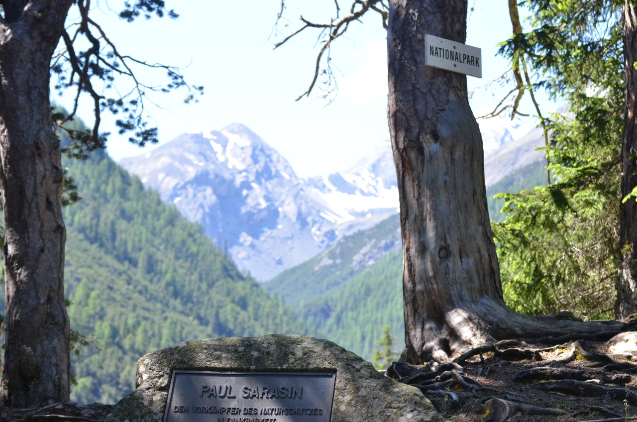
This morning we packed up slower than usual after 10 days off, then went to the office to drop Ruedi’s stuff back. We got to see some familiar faces and said our thank-yous and goodbyes before hitting the road. It’s been a truly wonderful visit to the Swiss National Park, filled with fabulous scenery and exceptional people. We could easily have stayed longer, but the road awaits!
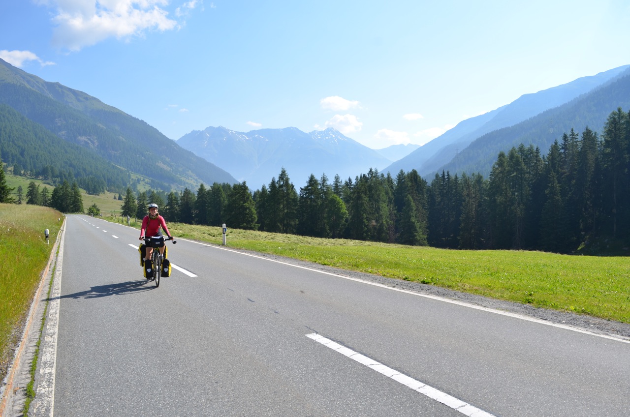
It was 9am by the time we were off, a glorious morning and getting warm already. We took the main road instead of the cycle route (to save time, uphills and punctures!), but it wasn’t too busy so we were okay. It was uphill the 20km to Le Punt where the pass started, but mostly it wasn’t too steep. Usually the morning is great for riding because there isn’t much wind. But the flies were out in force and I was longing for a headwind about 5km in! We were chugging up slowly, sweating a lot, and they were swarming. I’ve never experienced anything like it. There were just more and more flies until I had a huge cloud around me and 20 horrible flies crawling on each glove, sucking up the sweat mopped from my brow. When the swarm got really big, a few flew into my nose and mouth, which was fairly distressing. I pulled over and ran around to try and shed them but it was no good! Why doesn’t Dave have a swarm on him? That’s not fair!
Eventually there was a short downhill section, which saved me from tears and kept them behind me for a while. Then we came down a short steep hill into Le Punt and stopped for a break fly-free. Ahh, sweet relief!

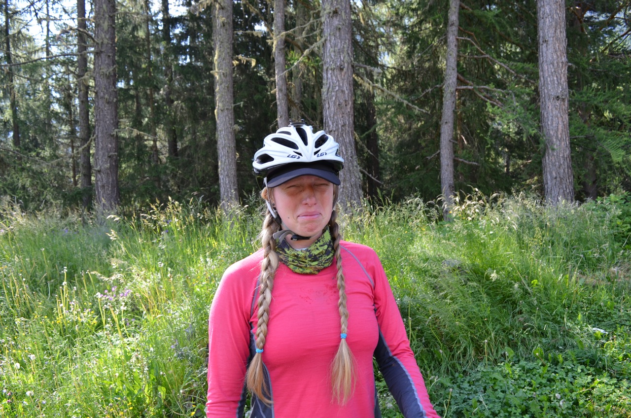
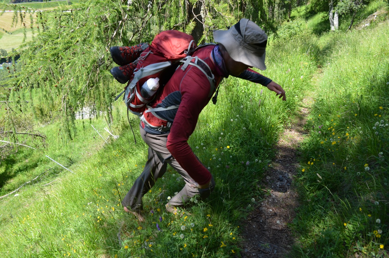
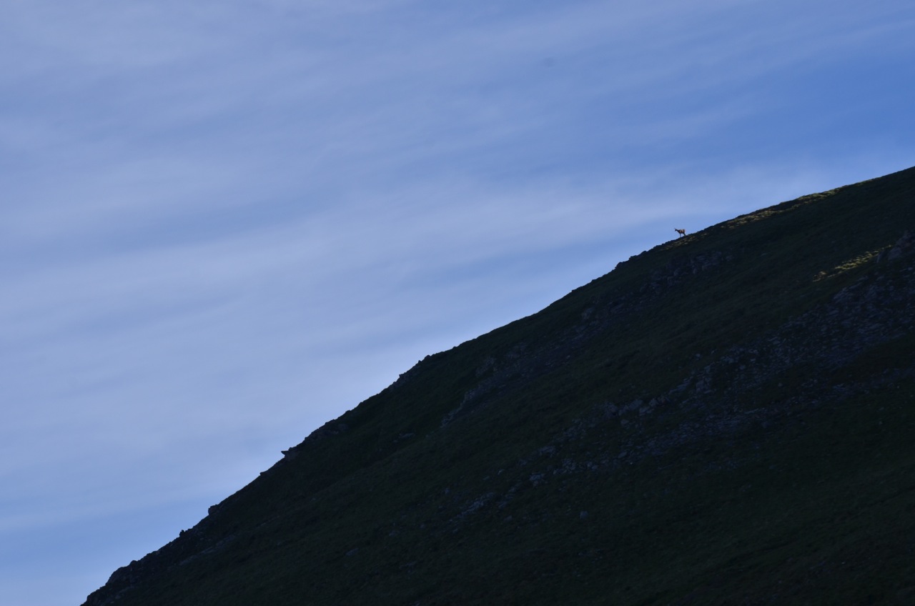
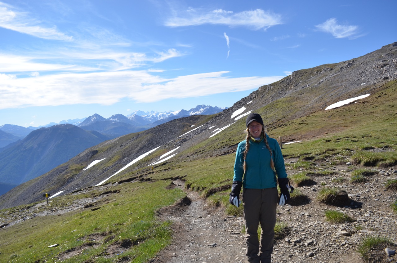
This is how unhappy I look under a swarm of flies (which may actually be vampires given their absence in the photo)

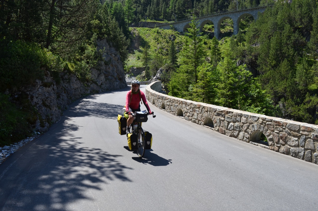
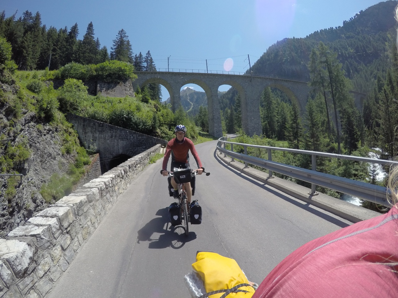
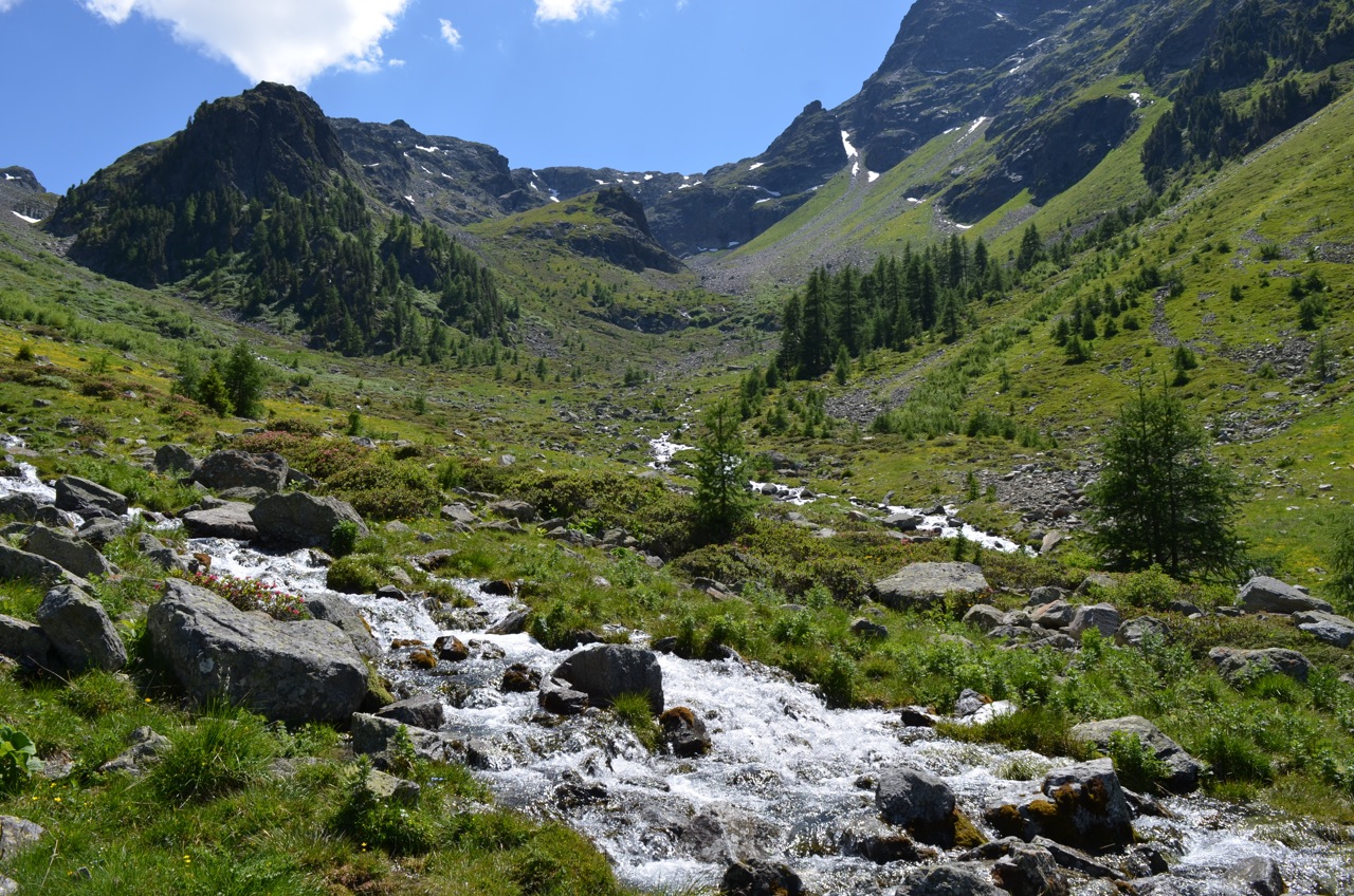
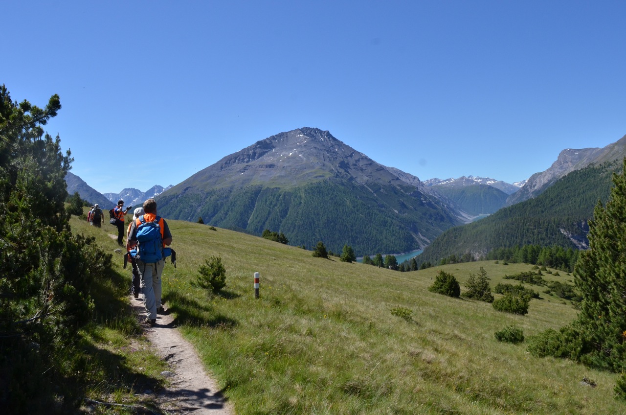
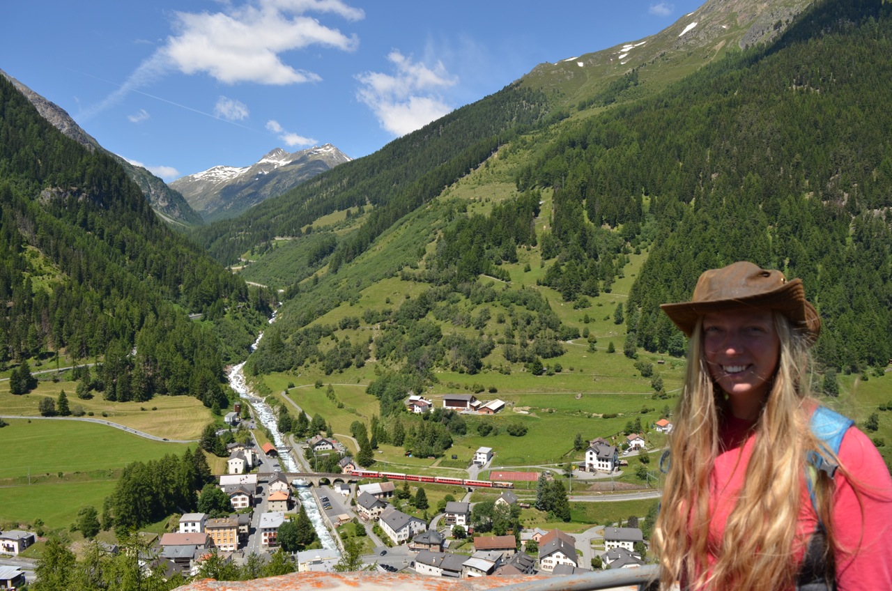
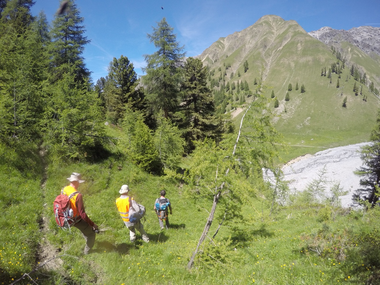
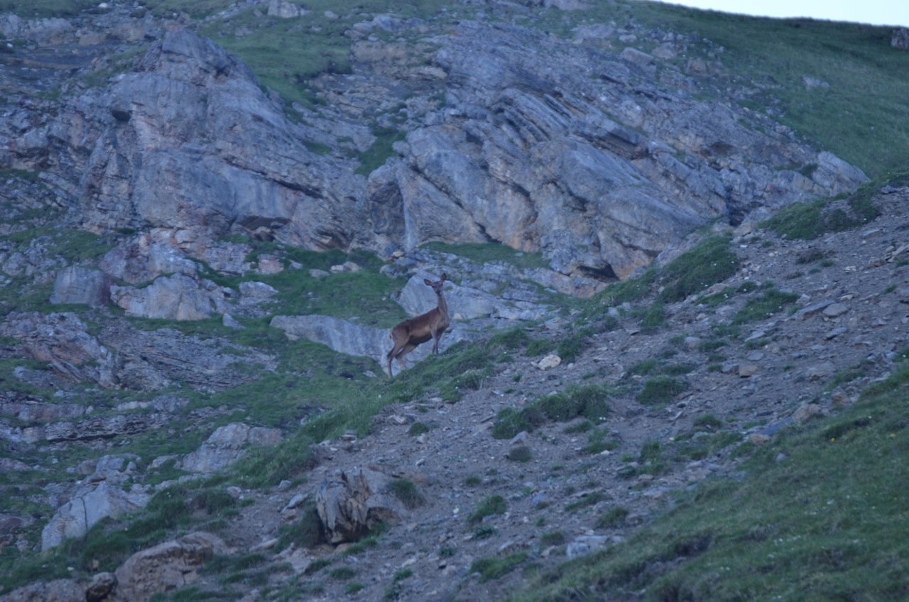
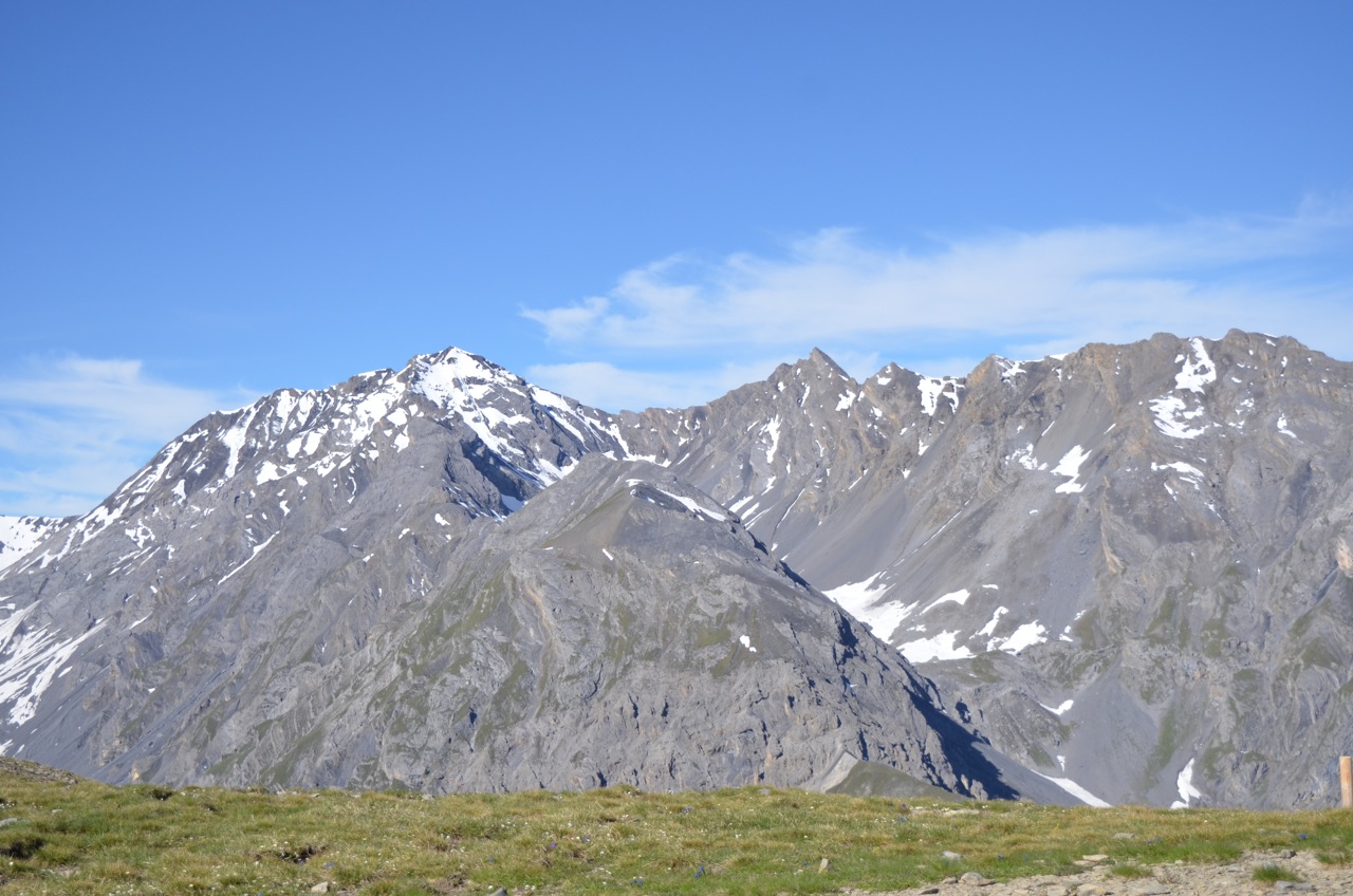
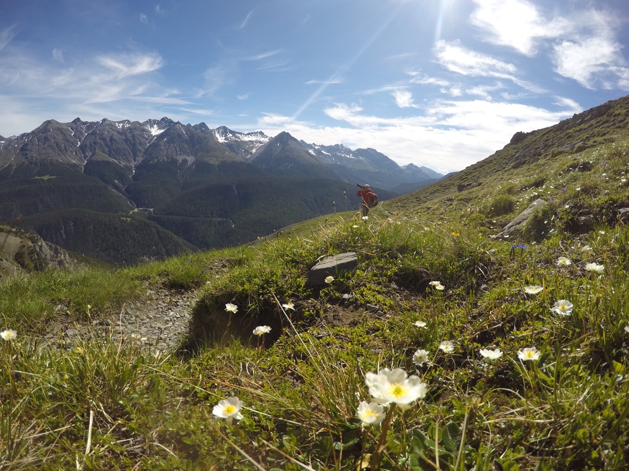
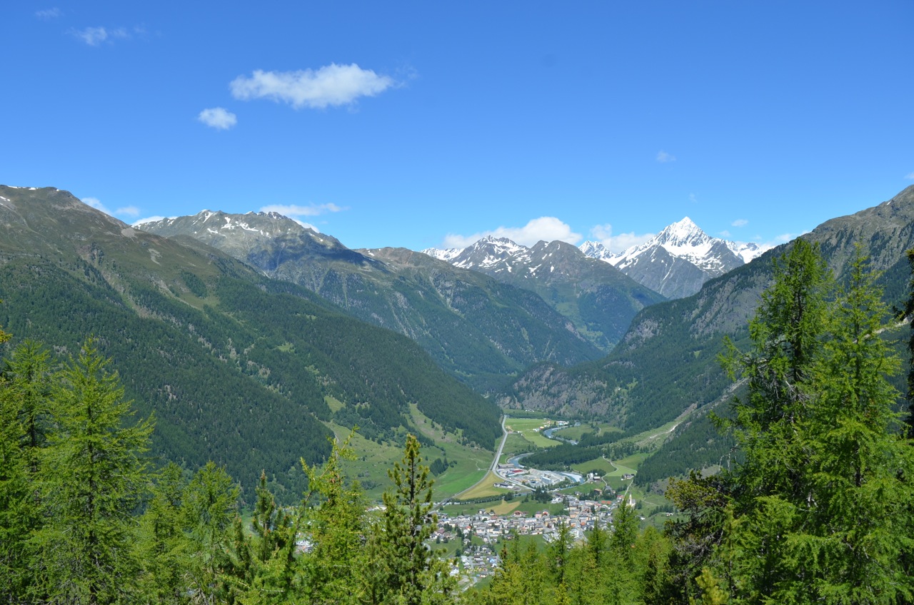
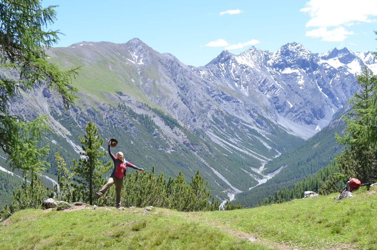
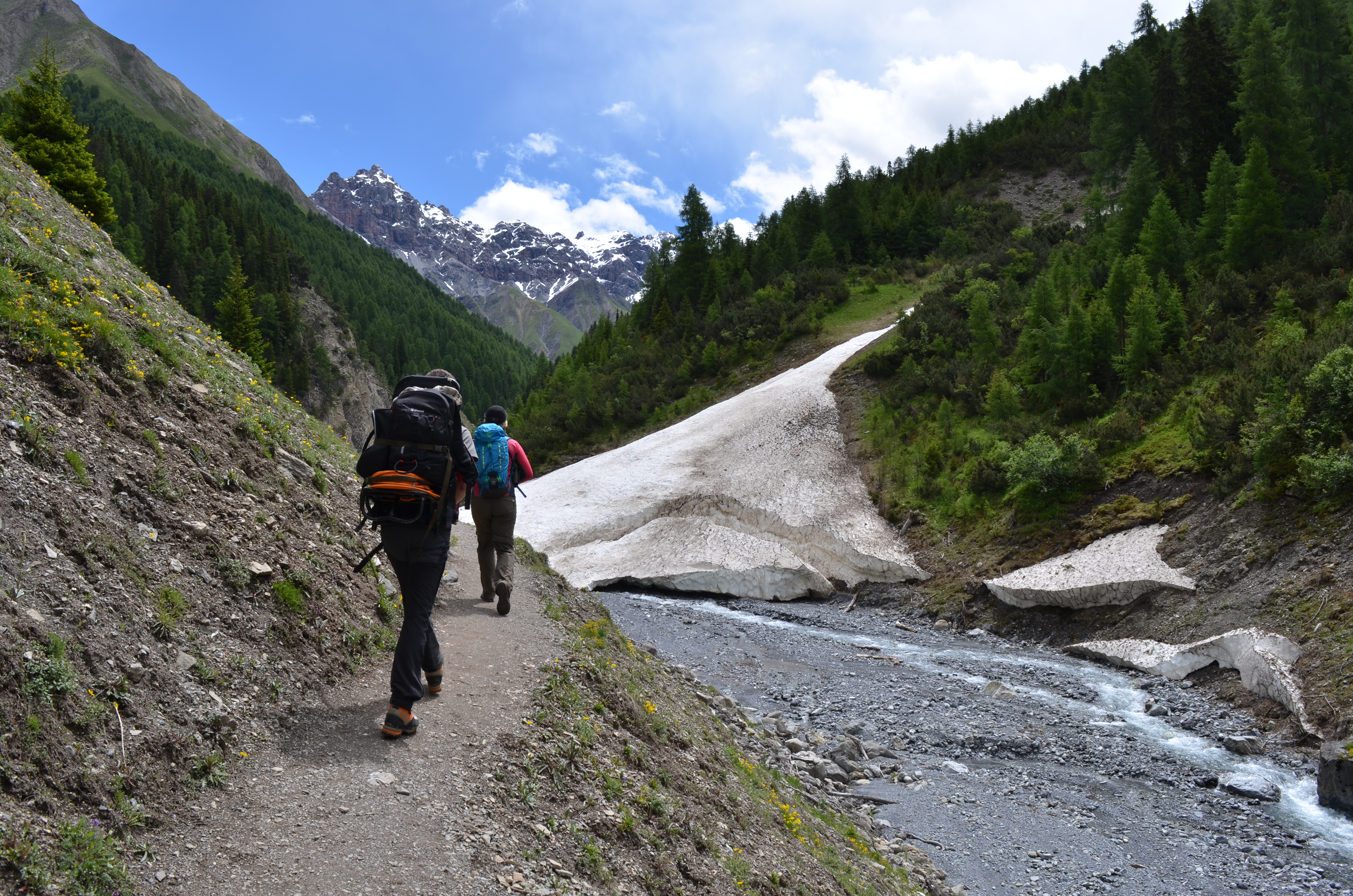
Up the valley from Zernez to Le Punt
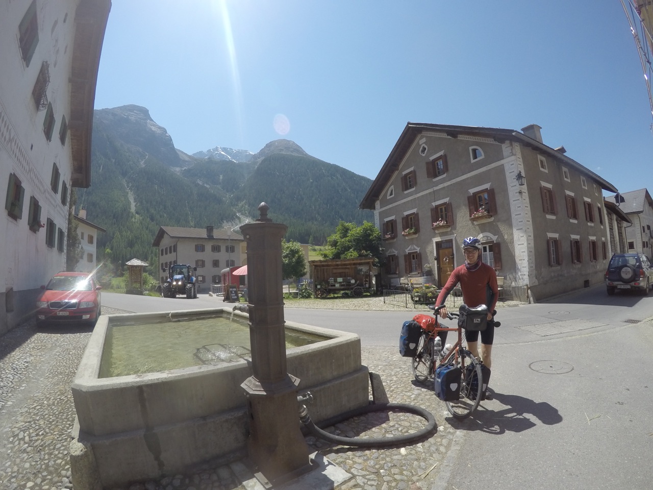
We’d contemplated staying at a campsite here to rest the legs ahead of the pass, but we were both feeling surprisingly okay and decided to go for it. The sign at the bottom said we’d gain 625m in 9km. Here goes!
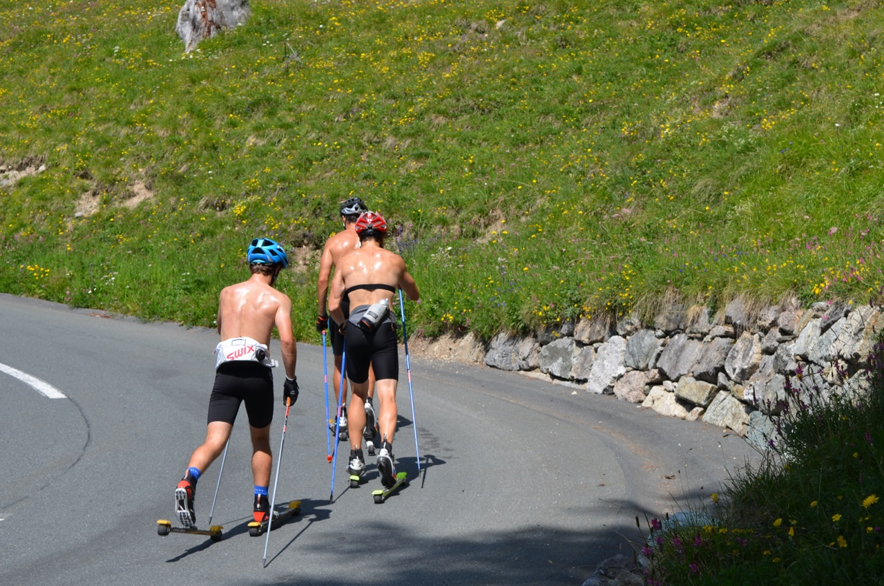
As we set off up the road out of the village, we were greeted by a mountainside with a road wiggling up the front of it. Granny gear engaged, we started tackling the beast. It was breezy down the bottom and we quickly gained height for good views of the valley. The pass was pretty busy with cyclists, a few cars and even some summer cross country skiers, using one-way wheels to ‘ski’ up the hill in the sun!

Summer skiing anyone?
A little further up, we were in more of a valley and the breeze was no more. The flies started to gather and there was nothing I could do to stop them. I might just have been able to enjoy the long, slow hot uphill. But a long, slow hot uphill covered in flies was too much. At one point I was running out of tolerance for them crawling their nasty little legs all over me and felt a lump start to build in my throat as I tried to make it to where Dave was waiting. Thankfully it was breezy where he stopped, and with the help of some wafting, we managed to get rid of the bastards. Ha! Sandwich please!
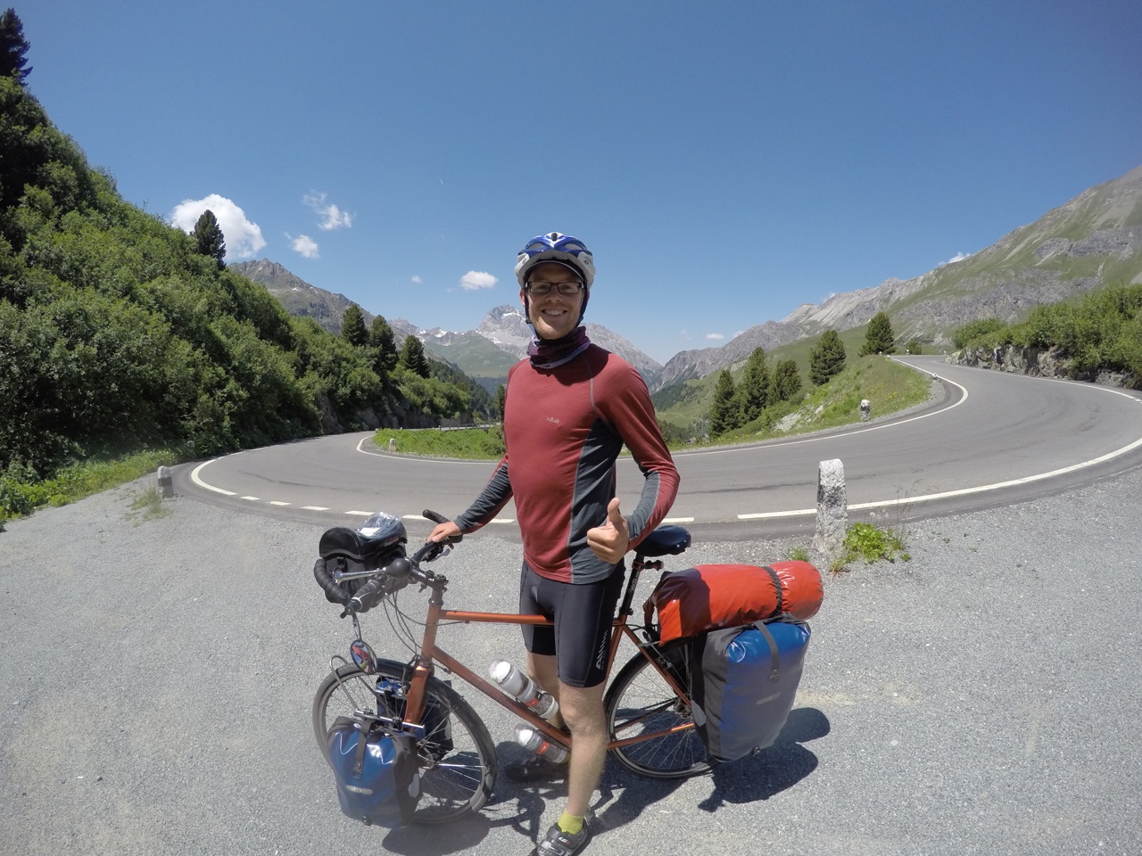
Happily the breeze was with us for the day then and there were no more horrible fly swarms. We slogged our way to the top, crossed the watershed and from there on, we were heading downstream.

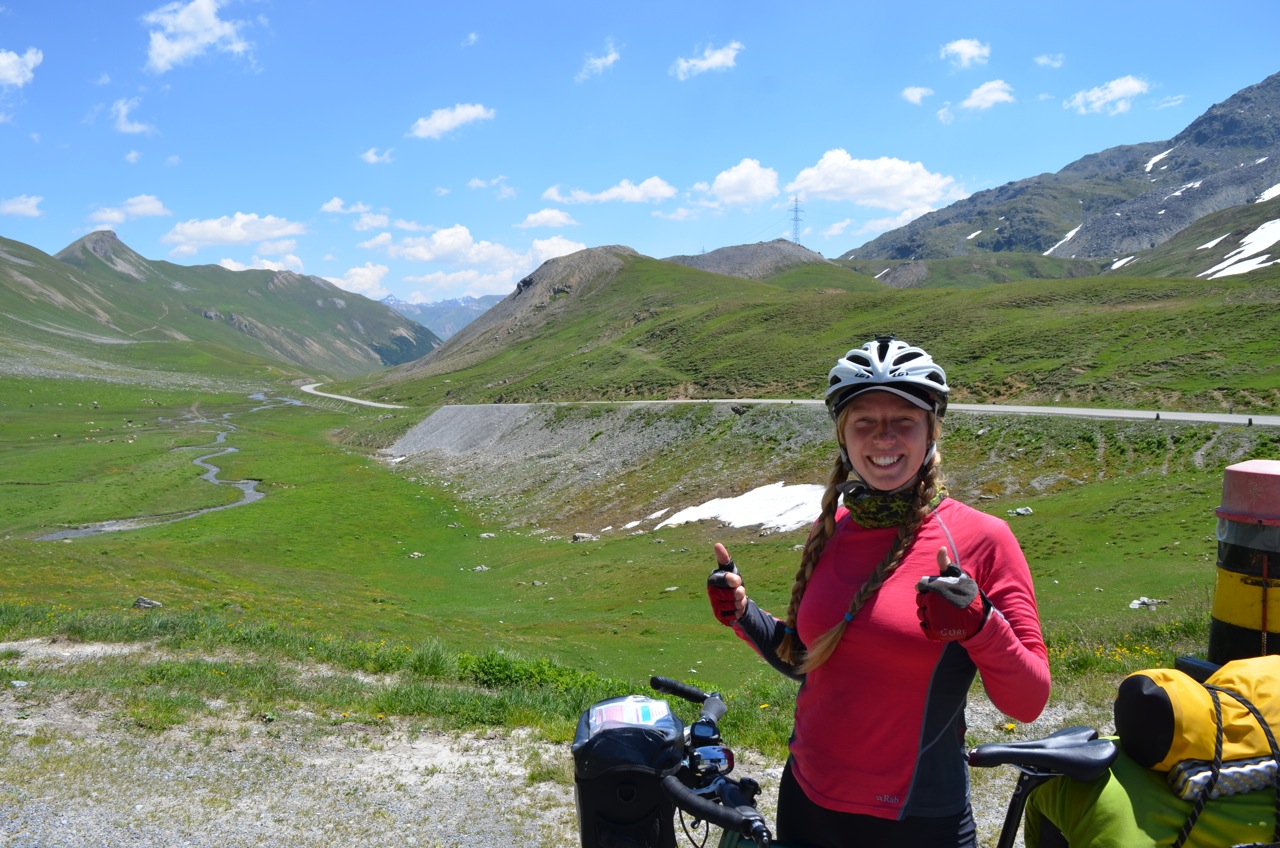
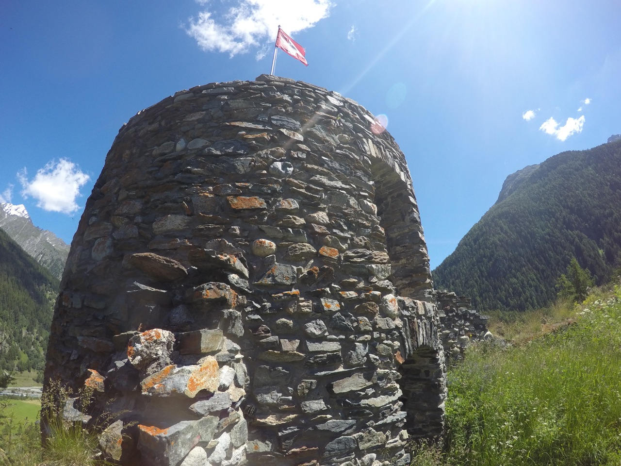
Watershed moment

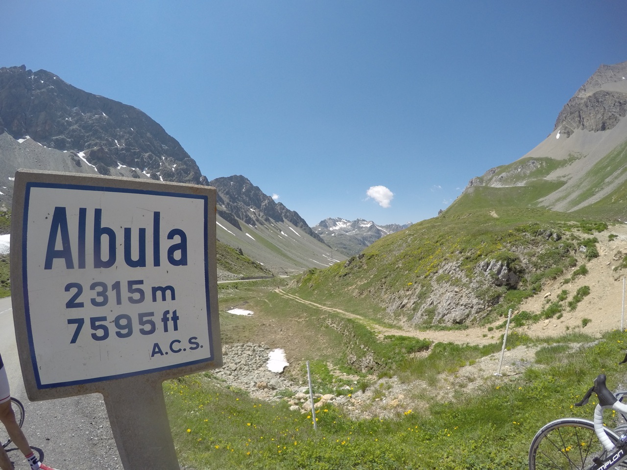
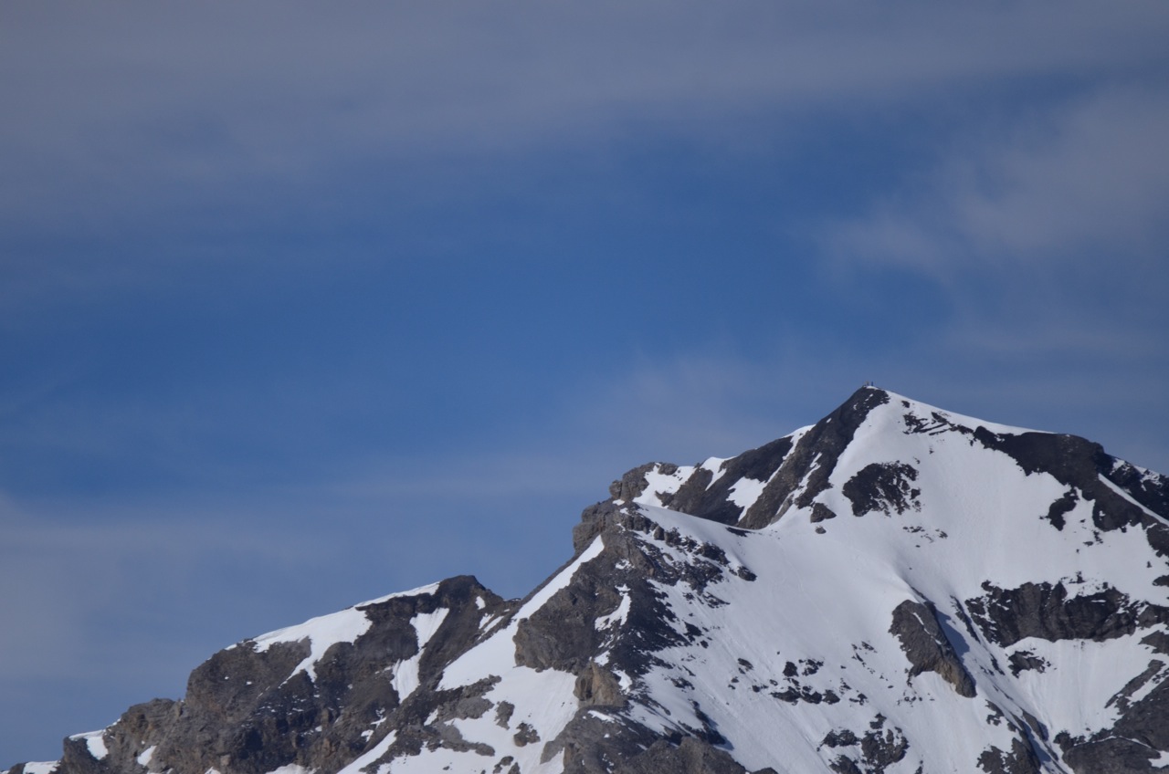
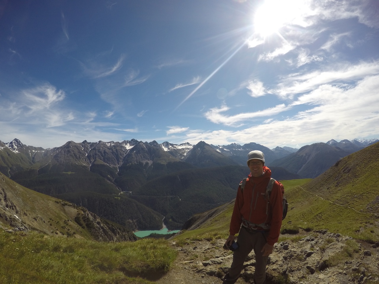
Albulapass summit
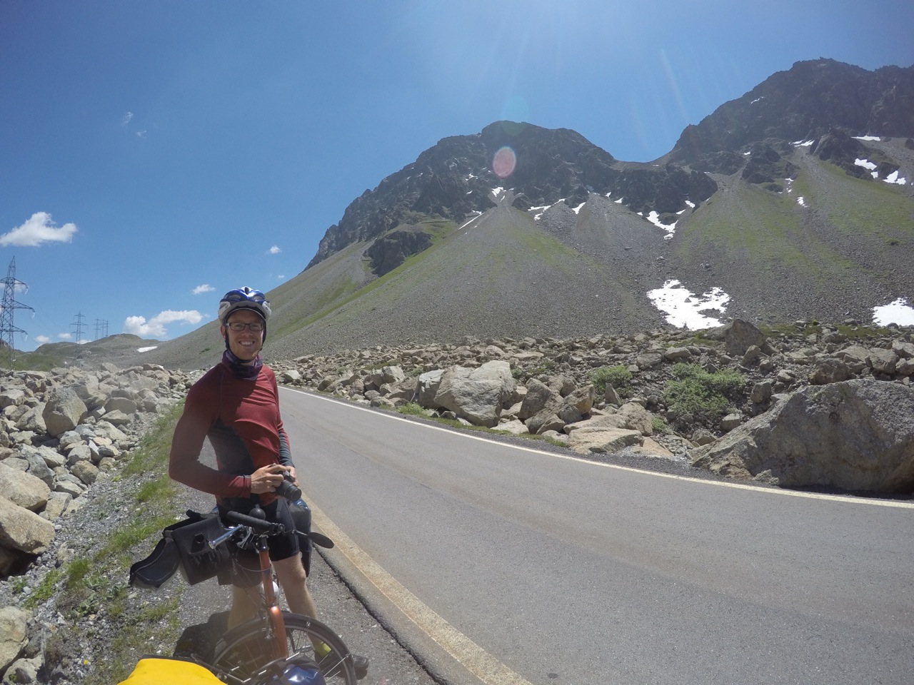
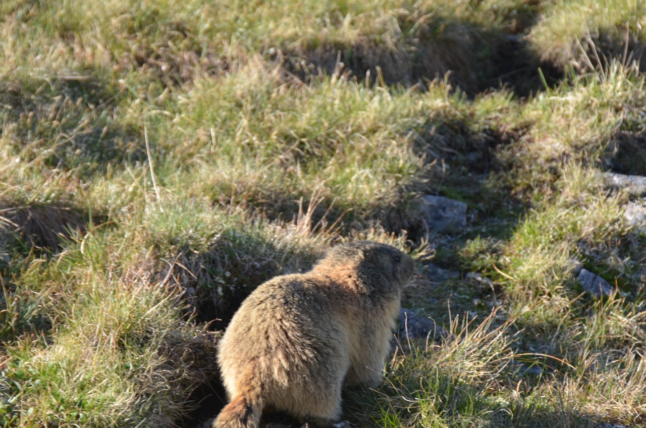
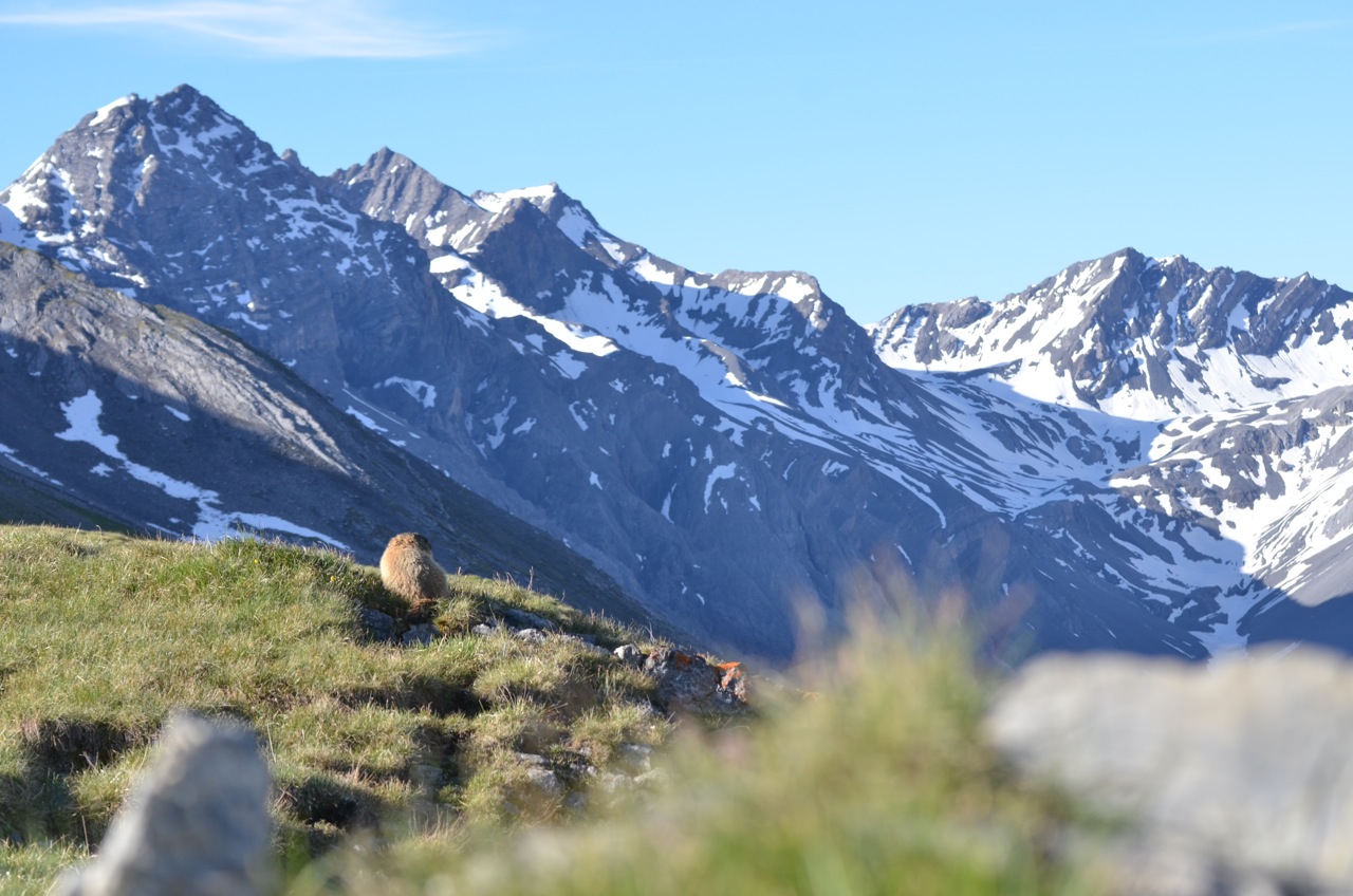
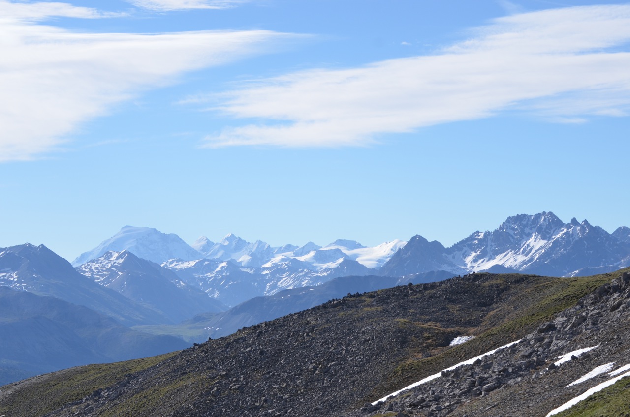
We were well above the tree line at the top of the pass at 2315m. There were rocky peaks on either side, scree slopes, waterfalls, meadows and some cows. Then as we started to come down, we passed huge scree and talus slopes, rocks strewn all over the place. Only the ones that had been on the road had been moved away, so we could see where rockfalls had taken place.

Dave in the rockfall zone
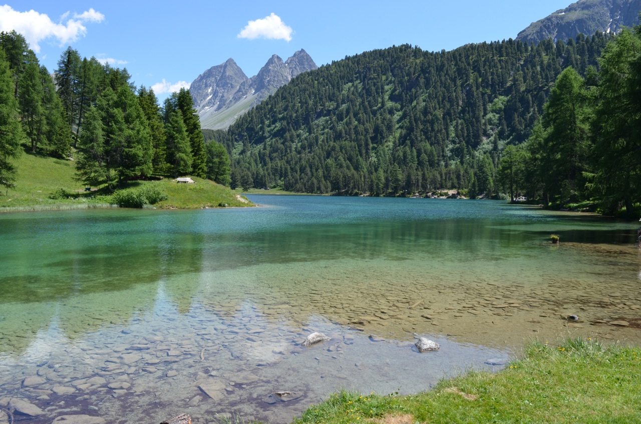
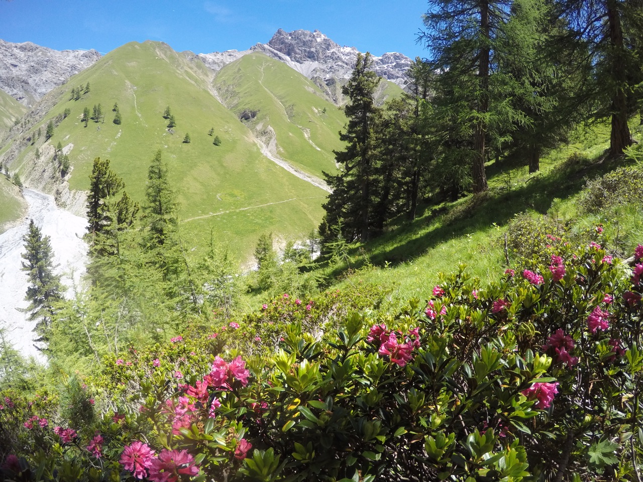
Down a bit further and we found ourselves in a beautiful green valley. Alpine meadows in the high areas, some emerald green lakes in the valley and lush forests lower down. We zoomed through the scenery and passed lots of puffing cyclists on their way up. Then we were approaching a large lake, clear turquoise surrounded by forested peaks. We pulled over by the lake, propped the bikes up and found ourselves a lovely lunch spot.

Down the other side

Switchbacks are more fun on the way down

Lakeside lunch spot
After lunch the road carried on steeply down through larch forests and tourist areas. There was even a railway going alongside us! After a section of roadworks, a big truck tailgaited us before he could overtake precariously, then stop in front of us and make us wait. But some more beautiful scenery and free-wheeling cheered us up again.

Going down

Under the railway

Wow, it’s hot when you stop!
It was getting warmer the lower we went and by now we were pretty toasty! We stopped for water and second suncream applications. Then our uninterrupted downhill section was over and we found ourselves going up a little bit between villages. I was feeling tired and the oppressive heat wasn’t helping. A few more uphill sections later and I asked Dave if we could stop at the next campsite we came across. He agreed (possibly reluctantly) but it was another 5km or so before we saw a sign. We followed it into the village, up a mega steep hill for 500m. It was the smallest campsite I’ve ever seen! And distinctly lacking in shade. Hmm. We had a nice chat with two of the guests who were staying there whilst working on an alp. Then we decided we didn’t want to stay in the miniature shadeless campsite and sped back down the hill to rejoin the main road and go uphill again towards Thusis.
It was another 15km to the next campsite and I wasn’t really up for it, but there was no way there but to ride. We sped down, chugged up, sped down, repeat. Then there was a little sign with a bicycle and an arrow pointing off the main road, uphill on a side road. I wonder what that means? We sped past it downhill and I saw a little blue sign indicating that a tunnel was coming up. Uh oh! But it said 150m. “It’s okay,” I shouted over my shoulder “Only a short one!” And we zoomed downhill towards it. We could see a truck coming up behind us, but he’d seen us and didn’t seem in a hurry to overtake. Then, as we entered the mouth of the dark tunnel at 40kph, I saw a sign that said ‘Tunnel 985m’. Oh crap. I guess it meant 150m to the tunnel!
No going back now! We were plunged into the darkness, totally unprepared with no lights and no way onto the pavement. The only thing to do was to pedal as fast as possible and hope that the truck didn’t try to overtake. Pedal, pedal, pedal, until we could feel the warmth of the outside approaching and were met with light at the other end! We pulled over, gave the truck driver a thankful thumbs up and took a moment to compose ourselves.
The map told us that 4 more tunnels were coming up and only the last one had an alternative route. So we mounted the lights, had a biscuit and set off down the mountain again. On the whole, it went pretty well. We only got shouted at once for not being on the pavement (which was too narrow for bikes with luggage) and most of the drivers were considerate. The last tunnel was only for cars and we took the quiet side road around it instead, arriving into Thusis tired but triumphant.
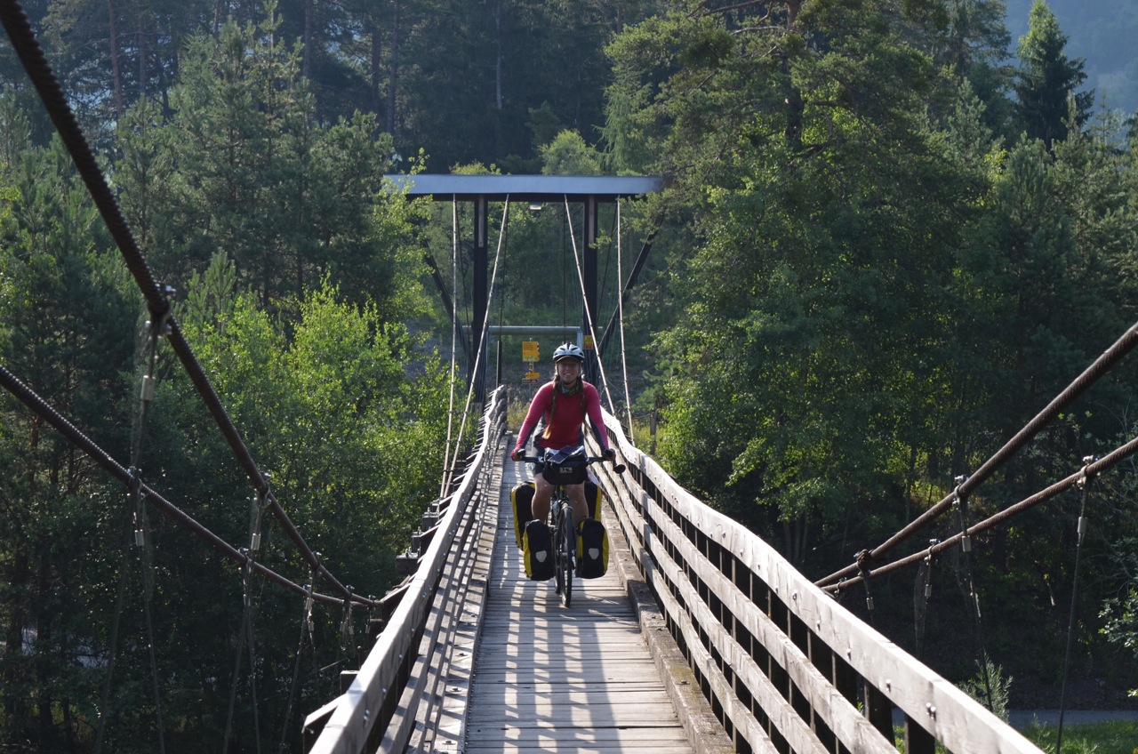
One last section of cycle path, then a narrow wooden bridge across a fast flowing river and we arrived at the campsite. It had tall Scots pine trees providing dappled shade, lovely new facilities, a cheery, friendly owner and (most importantly), showers and wifi were included. Bliss.
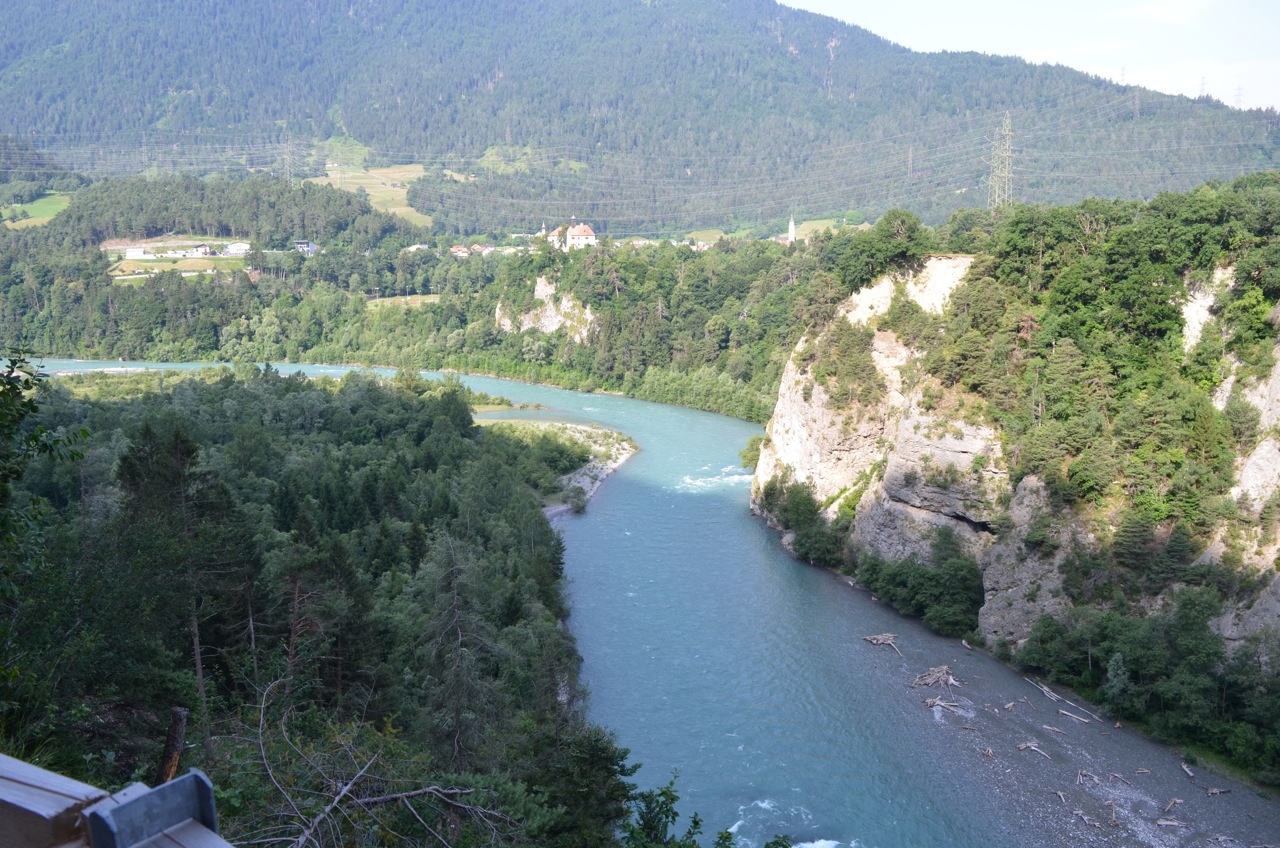
It was still incredibly hot and even after a cool shower, I was too zoned out to do anything. Dave pitched the tent then I made dinner and we ate before the sun finally set around 8pm. I took the time to ease my muscle soreness with some yoga whilst Dave had some laptop time. He found out that the river that we crossed just before the campsite joins the Rhein! Hurray! All downhill from here then, right?
Then we got ready for bed. But even with the tent doors open, it was too hot to sleep and we lay there feeling clammy until about 11pm when it was cool enough to contemplate getting into a sleeping bag liner. Hoping the heatwave passes soon!
– Anna